Cooler June giving way to heat wave
FAIRMONT – Through the Fourth of July, a combination of high temperatures and humidity is going to provide a muggy background to the end of June and beginning of July.
Throughout the month of June, National Weather Service Meteorologist Ryan Dunleavy said temperatures have been relatively cooler than average, which makes an even greater difference in how this week will feel.
“With this week’s heat, there’s a little more of a stark feeling of a difference, just because it’s been a little bit cooler than what we’ve anticipated for this time of year,” he said.
As for what’s creating this sustained blast, Dunleavy said it has a lot to do with how air moves.
“Everything moves in waves,” he said. “Aloft we have areas of higher pressure versus lower pressure. You have high pressure building over the southeastern part of the United States, and that is forcing much warmer and moist air to move up from the Gulf into the northern plains and cause this moist humid air mass over us.”
Dunleavy said this air moving up from the Gulf itself is why it is humid, instead of a drier heat. This particular high pressure system has been able to build and strengthen itself, which Dunleavy said accounts for how long it’s projected to last.
“Last week we had this low pressure over Manitoba that was neglecting to move really far at all,” he said. “That was because the flow off to its east had a block that wasn’t able for it to keep moving until that eroded. It was able to finally move on to the east and change our weather pattern here locally, and that’s what we’re seeing here.”
While the humidity will turn up the heat, current forecasts do not project any breaking of records. Measurements from the Fairmont Airport show the heat index reached 100 on Monday due to 75 percent humidity, but the actual air temperature only got up to 87 degrees, well shy of the 100 degree record set in 1931.
Over the next few days, Dunleavy said people should be mindful of a few key things that will make things worse in the heat.
“If you’re out there doing strenuous activity, not drinking enough water, wearing dark colors instead of light colors, those would increase the risk of heat-related illnesses,” he said.
If one has things they need to do, Dunleavy recommends pushing them off until later in the day, past peak warming hours. As the days go on, he also recommends watching out for people who could be susceptible to the heat.
“Those who are very young, the elderly, maybe those who are unhoused,” Dunleavy said. “If you have neighbors or family that’s elderly, just checking on them, make sure that they’re doing okay, making sure they’re staying cool. Making sure you’re bringing your pets inside, or they have adequate water.”
Making sure parents or caregivers always check their vehicle to ensure no child or animal is left inside was also stressed by Dunleavy, not just for this heat wave but in general. Anyone with a heat-related concern for themselves or someone else should contact the relevant health care provider, or 911 in an emergency.
As the week goes on, Dunleavy said the forecasted highs will go down ever so slightly from the low 90s to the high 80s until breaking to the low 80s by the end of the weekend.
Local News
Cooler June giving way to heat wave
FAIRMONT – Through the Fourth of July, a combination of high temperatures and humidity is going to provide a ...
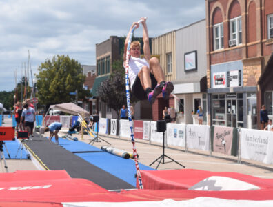
Athletes fly high at Vault the Plaza

Black bears spotted near Sleepy Eye

Summer auction set for July 18
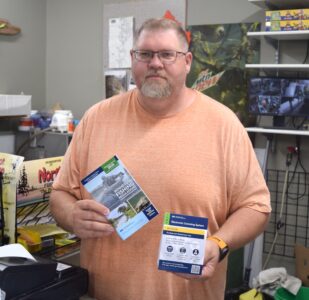
Locals adapting to new licensing system